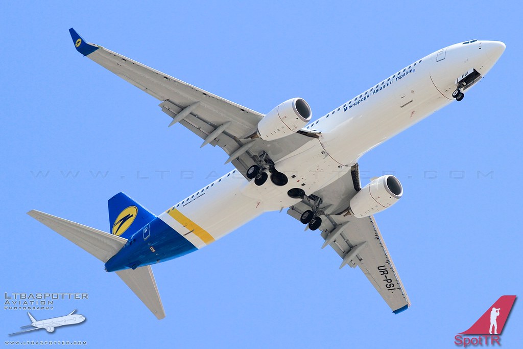
Disclaimer: The source of the above image is flickr and is copyright ltbaspotter - Bulent Kavakkoru/SpotTR. This system may not show the actual aircraft with 100% accuracy.
Flight Information
Ident/Callsign
Owner
Ukraine International Airlines
Airline
Aircraft
Registration
Additional information as it flew nearby
Ground Speed
830 km/h
Heading (degrees)
91 (East)
Altitude
11278 m
Coordinates
Lat: 47.8421 Lng: 16.3959
Date (UTC)
Date (UTC)
Jun 30, 2024 17:44
