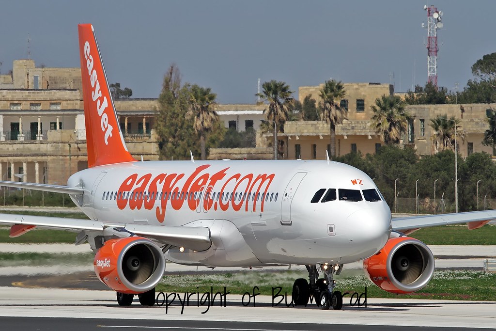
Disclaimer: The source of the above image is flickr and is copyright Burmarrad. This system may not show the actual aircraft with 100% accuracy.
Flight Information
Ident/Callsign
Owner
Easyjet Airline
Airline
Registration
Additional information as it flew nearby
Ground Speed
511 km/h
Heading (degrees)
218 (South-Southwest)
Altitude
2530 m
Coordinates
Lat: 51.6044 Lng: -2.1848
Date (UTC)
Date (UTC)
Jun 16, 2024 18:51
