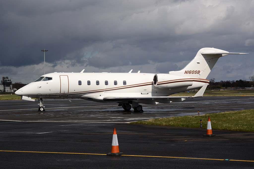
Disclaimer: The source of the above image is flickr and is copyright MarkP51. This system may not show the actual aircraft with 100% accuracy.
Flight Information
Ident/Callsign
Owner
Medical Center Development Llc
Airline
Registration
Additional information as it flew nearby
Ground Speed
854 km/h
Heading (degrees)
139 (Southeast)
Altitude
12497 m
Coordinates
Lat: 30.2104 Lng: -114.582
Date (UTC)
Date (UTC)
Apr 12, 2024 23:09