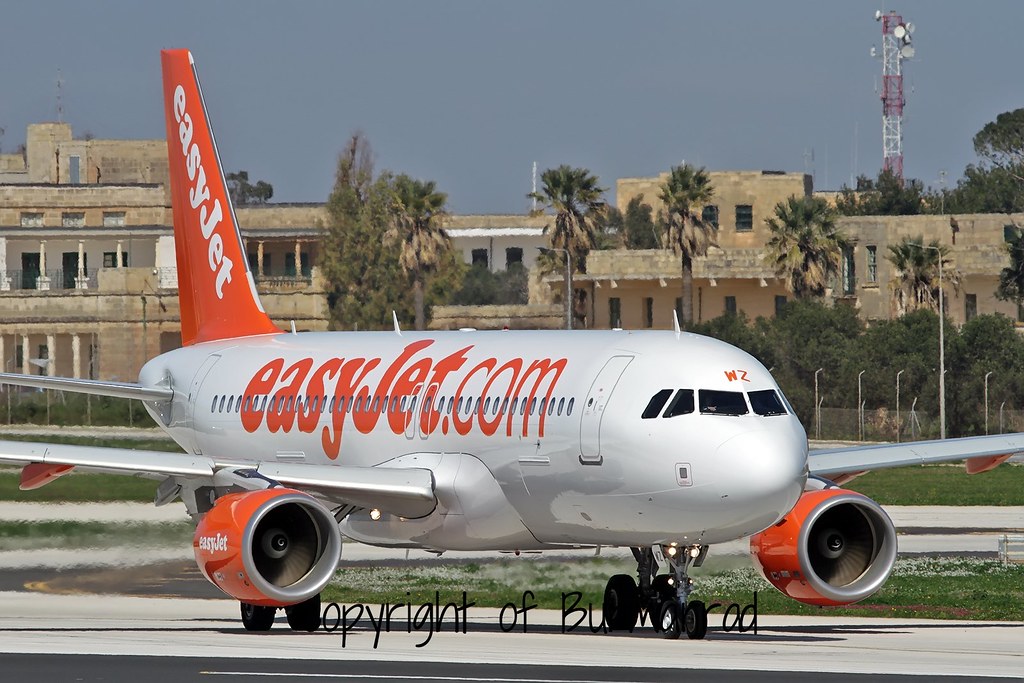
Disclaimer: The source of the above image is flickr and is copyright Burmarrad. This system may not show the actual aircraft with 100% accuracy.
Flight Information
Ident/Callsign
Owner
Easyjet Airline
Airline
Registration
Additional information as it flew nearby
Ground Speed
933 km/h
Heading (degrees)
10 (North)
Altitude
10973 m
Coordinates
Lat: 50.8531 Lng: -0.6446
Date (UTC)
Date (UTC)
Apr 7, 2024 14:08
Flight spotted duration
09:05:26
