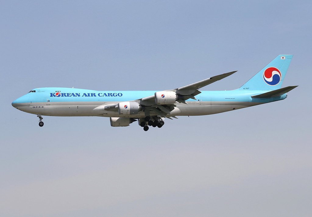
Disclaimer: The source of the above image is flickr and is copyright BC Photo OPS. This system may not show the actual aircraft with 100% accuracy.
Flight Information
Ident/Callsign
Owner
Korean Air
Airline
Registration
Additional information as it flew nearby
Ground Speed
963 km/h
Heading (degrees)
139 (Southeast)
Altitude
10668 m
Coordinates
Lat: 39.4993 Lng: -89.3865
Date (UTC)
Date (UTC)
Oct 6, 2024 5:12
Distance from Departure Airport
788 km
Distance to Arrival Airport
2775 km
