Disclaimer: The source of the above image is flickr and is copyright midexjet. This system may not show the actual aircraft with 100% accuracy.
Flight Information
Ident/Callsign
Owner
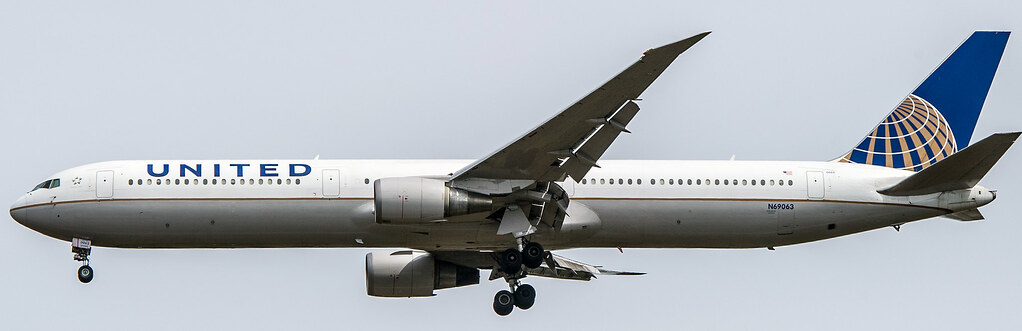
United Airlines
Airline
Aircraft
Registration
Route
KMCO KIAH
Additional information as it flew nearby
Ground Speed
815 km/h
Heading (degrees)
217 (South-Southwest)
Altitude
10973 m
Coordinates
Lat: 43.5141 Lng: -70.8773
Date (UTC)
Date (UTC)
Sep 21, 2024 16:49
Distance from Departure Airport
415 km
Distance to Arrival Airport
4166 km
