Korean Air KAL554 - Korean Air - 747-8/747-8 BBJ/BBJ (747-8) (B748) - HL7617

Additional Data
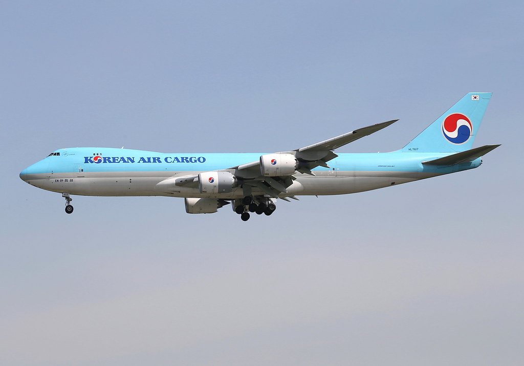
Disclaimer: The source of the above image is flickr and is copyright BC Photo OPS. This system may not show the actual aircraft with 100% accuracy.

Additional information as it flew nearby

Ground Speed
859 km/h
Heading (degrees)
305 (West-Northwest)
Altitude
4999 m
Coordinates
Lat: 37.23 Lng: 127.26
Date (UTC)
Aug 28, 2024 11:30
Distance from Departure Airport
784 km
Distance to Arrival Airport
77 km

Last 5 Flights of this Aircraft (HL7617)

IdentAircraftComing fromFromGoing toToOwner nameOwnerRouteRouteSpotted durationDurationDate
HL7617 - B748 - Korean Air KAL260 BOEING 747-8 B748 Toronto, Canada (CYYZ) CYYZ
10677 km
Anchorage, United States (PANC) PANC
6064 km
Korean Air Korean Air - - 00:28:15 00:28:15 Mon, 16 Sep 2024 04:04:27 +0000 16/9/2024 4:04 am
Mon, 16 Sep 2024 04:32:42 +0000 16/9/2024 4:32 am
HL7617 - B748 - Korean Air KAL260 BOEING 747-8 B748 Toronto, Canada (CYYZ) CYYZ
1553 km
Anchorage, United States (PANC) PANC
3339 km
Korean Air Korean Air - - - - Sun, 15 Sep 2024 17:03:14 +0000 15/9/2024 5:03 pm
HL7617 - B748 - Korean Air KAL260 BOEING 747-8 B748 Toronto, Canada (CYYZ) CYYZ
946 km
Anchorage, United States (PANC) PANC
4036 km
Korean Air Korean Air - - - - Sun, 15 Sep 2024 16:13:06 +0000 15/9/2024 4:13 pm
HL7617 - B748 - Korean Air KAL259 BOEING 747-8 B748 , China (ZSPD) ZSPD
11330 km
New York, United States (KJFK) KJFK
1198 km
Korean Air Korean Air Anchorage, United States (PANC) PANC
- - Sun, 15 Sep 2024 13:02:50 +0000 15/9/2024 1:02 pm
HL7617 - B748 - Korean Air KAL259 BOEING 747-8 B748 , China (ZSPD) ZSPD
11081 km
New York, United States (KJFK) KJFK
1494 km
Korean Air Korean Air Anchorage, United States (PANC) PANC
- - Sun, 15 Sep 2024 12:30:35 +0000 15/9/2024 12:30 pm