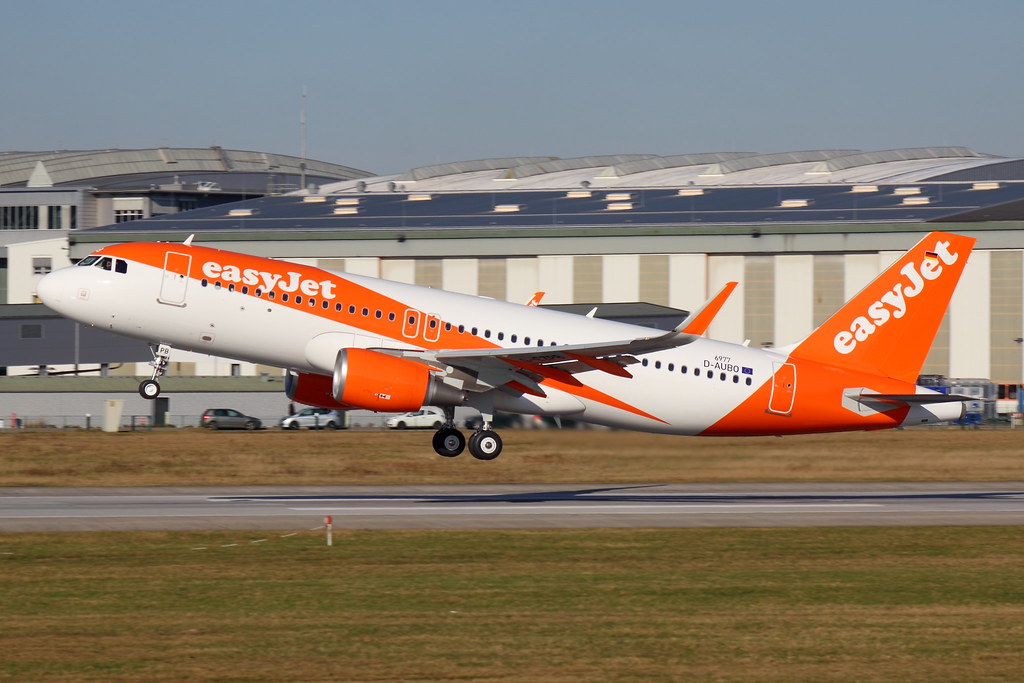
Disclaimer: The source of the above image is flickr and is copyright Martin Fester. This system may not show the actual aircraft with 100% accuracy.
Flight Information
Ident/Callsign
Owner
Easyjet Airline
Airline
Registration
Additional information as it flew nearby
Ground Speed
813 km/h
Heading (degrees)
306 (West-Northwest)
Altitude
10973 m
Coordinates
Lat: 45.0254 Lng: 13.4504
Date (UTC)
Date (UTC)
May 8, 2024 11:59
