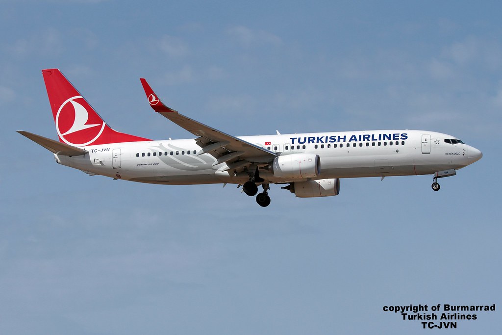
Disclaimer: The source of the above image is flickr and is copyright Burmarrad. This system may not show the actual aircraft with 100% accuracy.
Flight Information
Ident/Callsign
Owner
Turkish Airlines
Airline
Aircraft
Registration
Additional information as it flew nearby
Ground Speed
887 km/h
Heading (degrees)
73 (East-Northeast)
Altitude
4542 m
Coordinates
Lat: 40.9732 Lng: 27.3409
Date (UTC)
Date (UTC)
May 1, 2024 17:18
